A Memorable Road Trip to Bow Summit in the Canadian Rockies
Bow Summit is a high mountain peak at an elevation of 2,098m (6,883ft) above sea level, located in the Canadian province of Alberta. It’s one of the highest roads in the country.

Where is Bow Summit?
The peak is located near the border with British Columbia, in the southern part of the country within Banff National Park. At the summit, there’s a parking lot that provides stunning views of Peyto Lake.
How Long is the Road to Bow Summit?
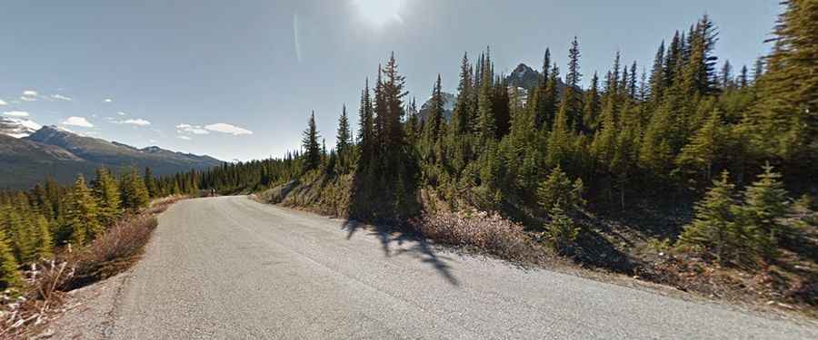
The short mountain road to the summit is fully paved. It is 1.1km (0.68 miles) long, starting from the paved Icefields Parkway (also known as Highway 93 North), the highest road in Canada’s national parks. The drive tops out at 2,110m (6,922ft) above sea level.
Is the Road to Bow Summit Open in Winter?
Set high in the Waputik Range, part of the Canadian Rockies, accessibility is largely limited to the summer season. The road is not generally snow-free until late June or even July in some years.