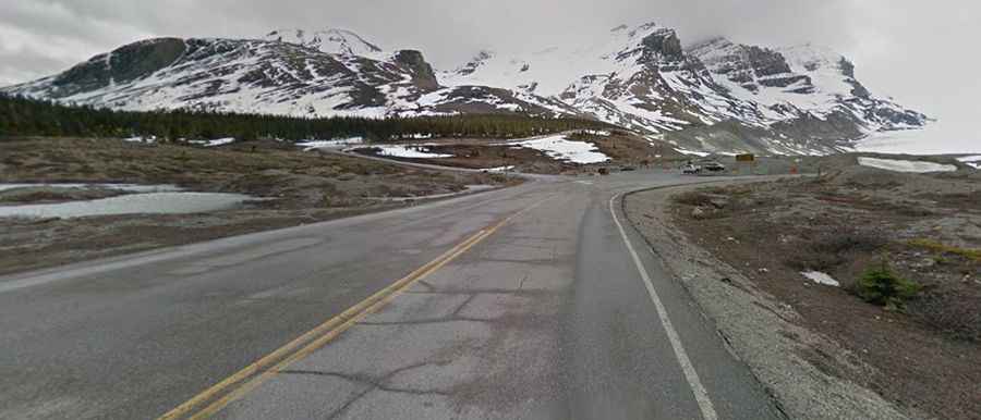
How to get to Athabasca Glacier by car?
The Athabasca Glacier is a massive glacial toe located in the Canadian Rockies, Alberta, Canada. It is the most-visited glacier in North America and features one of the highest roads in the country.

Why is Athabasca Glacier famous?
The glacier, a tongue of ice approximately 6 km (3.7 mi) long and one kilometer wide, is one of the jewels of the Canadian Rockies. It is said to be the easiest glacier in the world to access by car. Due to a warming climate, the glacier has been receding and melting for the last 125 years. The glacier is dangerous, with deep, hidden cracks called crevasses posing risks. For your safety, do not cross the barriers.
How long is the road to Athabasca Glacier?
The road to the glacier is fully paved and is called Snocoach Road. Starting from Highway 93 (Icefields Parkway), the drive is 2.2 km (1.36 miles) long and ends at the Ice Explorer Boarding Station, on the way to the Athabasca Glacier, at an elevation of 2,120 m (6,955 ft) above sea level. The elevation gain is 135 meters, and the average gradient is 6.13%.
Is the road to Athabasca Glacier open in winter?
Located in the southern end of Jasper National Park in the Canadian Rockies, the road is closed during the winter months (mid-October to mid-April).