A lonely scenic drive to Chilkat Pass in British Columbia
Chilkat Pass is a mountain pass at an elevation of 1,061m (3,480ft) above sea level, located in the province of British Columbia, Canada.
Where is Chilkat Pass?
The pass is located near the border of Alaska, in the Stikine Region, in the northeastern part of the country. There’s a small parking lot at the summit.
Why is it called Chilkat Pass?
The pass is named for the Chilkat subgroup of the Tlingit people.
Is Chilkat Pass paved?
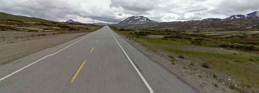
The road to the summit is a good, 2-lane paved highway running through the coastal mountains. It’s called Haines Highway.
How long is the road through Chilkat Pass?
The road through the pass is 174km long, running south-north from the US border to Haines Junction, a village in Yukon, Canada.
Is Chilkat Pass open in winter?
Although the highway is maintained year-round, if you plan on traveling the route between September 15 and June 1, be sure to check weather conditions before you head out.