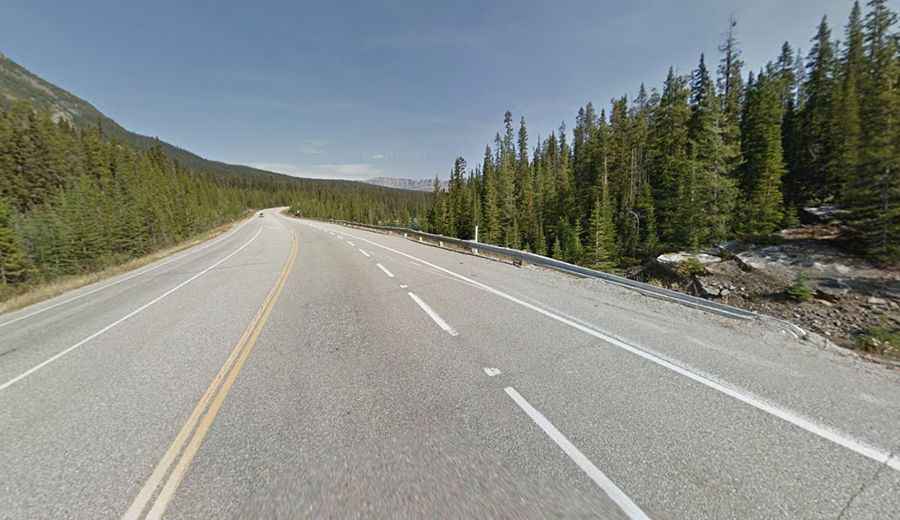
A scenic paved road to Vermilion Pass in the Canadian Rockies
Vermilion Pass is a high mountain pass at an elevation of 1,647m (5,403ft) above sea level, located on the border of Alberta and British Columbia, in Canada.

Where is Vermilion Pass?
The pass is located on the Continental Divide, within Banff National Park, in the southern part of the country.
Why is it called Vermilion Pass?
The pass takes its name from the mineral springs of iron oxide located 9 km southwest of the pass. Historically, it was significant for fur traders and explorers and was later developed into a key transportation route.
How long is Vermilion Pass?
The scenic road to the summit is fully paved. It’s called British Columbia Highway 93 (Banff-Windermere Highway). The pass spans 105 km (65 miles), running west-northeast from Radium Hot Springs (in the East Kootenay region of British Columbia) to Castle Junction (in Banff National Park, Alberta).
Is Vermilion Pass open in winter?
Set high in the Canadian Rockies, the pass experiences a subarctic climate, with heavy snow in winter and cool summers. Winter driving can be challenging due to snow and icy conditions.