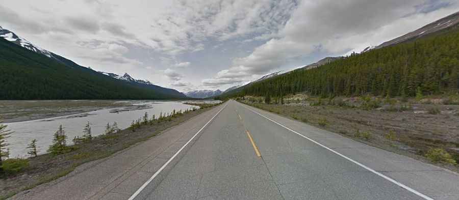
Driving the paved road to Sunwapta Pass through the Canadian Rockies
Sunwapta Pass is a high mountain pass at an elevation of 2.069m (6,788ft) above sea level, located in Canada’s Alberta province. It's one of the highest roads in the country.

Is Sunwapta Pass in Canada’s Alberta province paved?
Set high amid the snow-capped Canadian Rockies, the road to the summit is totally paved. It’s called Icefields Parkway (also known as Highway 93 north). It’s said to be the highest road in Canada’s national parks. The road runs from Jasper to Banff. Be prepared for hairpin turns as you switchback up to the summit.
How long is the road to Sunwapta Pass?
Located on the boundary between Banff and Jasper National Parks, the pass is 151 km (93.82 miles) long running north-south from Jasper to Saskatchewan River Crossing. The pass is the second highest point on the road, being Bow Pass in Banff National Park the highest point on the parkway.
Is Sunwapta Pass in the Canadian Rockies worth it?
Completed in 1940, the road does get busier at weekends and in the main holiday season. The parkway is busy in July and August with up to 100,000 vehicles a month. The drive is awe inspiring and the views cannot be captured in photos. It seems no matter where you drive, you always have a photo opportunity. It’s an impressive example of road engineering, producing better and better scenery as you climb higher.