Explore the Scenic Beauty of Alberta Provincial Highway 40
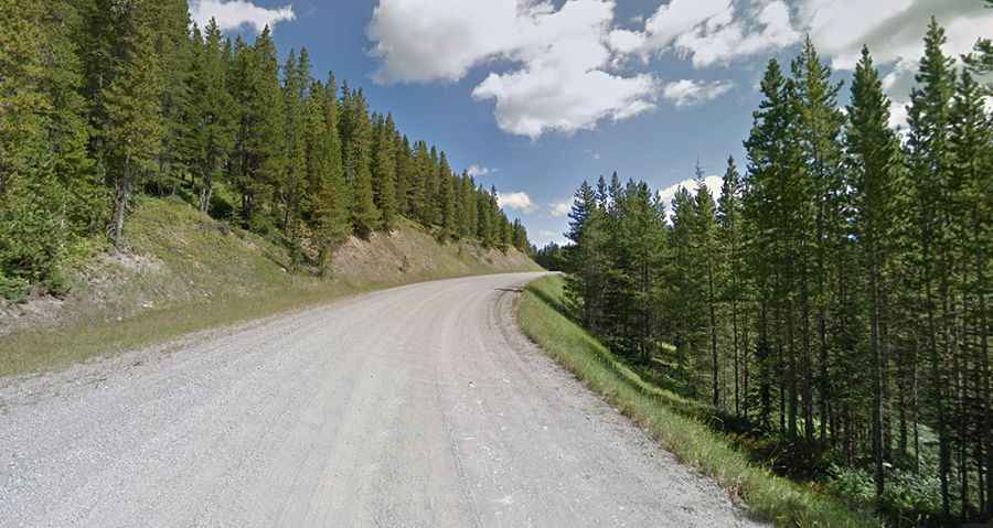
Alberta Provincial Highway 40 offers a highly picturesque drive through western Alberta, Canada. Various segments of the road feature a combination of paved and gravel sections.
Is Hwy 40 in Alberta paved?
The road, commonly known as Highway 40, spans 1,021 km (634 miles). It stretches from Coleman, a small town in the Rocky Mountains in southwest Alberta, northward to Grande Prairie, a city in northwest Alberta. The road is also referred to as Bighorn Highway and Kananaskis Trail. Numerous segments of Highway 40 incorporate a mix of paved and gravel sections.
Is Hwy 40 in Alberta open?
The road winds through the Canadian Rockies, and closures can be frequent during winter due to weather conditions. It reaches its peak at 2,217m (7,273ft) above sea level by Highwood Pass. Upon reaching the summit, you'll travel at the highest elevation of any highway in the country, close to the treeline where pockets of snow persist even in midsummer. It's annually closed between Peter Lougheed Provincial Park and Hwy 541 from December 1 to June 14.
Is Hwy 40 in Alberta worth it?
The road offers a highly scenic drive, providing a wonderful opportunity to explore western Alberta with its breathtaking views. Throughout the journey, you'll encounter abundant wildlife, including bears, elk, moose, mountain goats, and coyotes, amidst spectacular mountain vistas. This scenic day trip is a perfect way to discover Canada and southern Alberta.