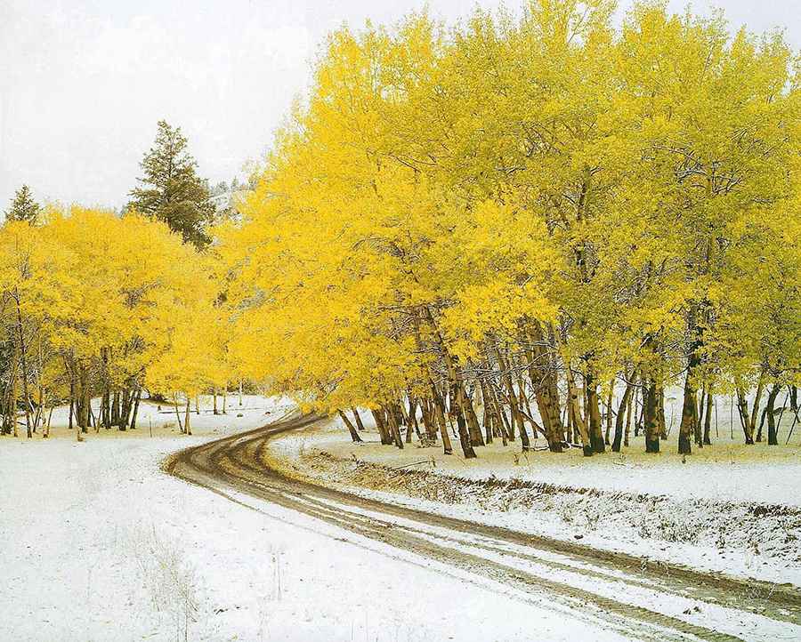
Driving the Wild 4x4 Road to the Lookout at Cornwall Hills in British Columbia
Cornwall Hills is a high mountain peak at an elevation of 2,037m (6,683ft) above sea level, located in the Canadian province of British Columbia. It’s one of the highest roads in the country.

Where is Cornwall Hills?
The peak is located in the Thompson–Nicola Regional District, in the southern part of the country, within Cornwall Hills Provincial Park. The summit of Cornwall Hills is a popular launch site for hang gliders and hosts a lookout built in the late 1950s. The tower was staffed regularly until the early 1990s and was occasionally used until 2003. In 2015, BC Parks considered demolishing it, but a partnership with two organizations has since ensured its preservation.
Is the Road to Cornwall Hills Unpaved?
The road to the summit is completely unpaved and in rough condition, with rocky sections. It is not maintained, and a high-clearance, 4×4 vehicle is essential.
How Long is the Road to Cornwall Hills?
Starting from the paved Trans-Canada Highway, the road to the summit is 21.8 km (13.54 miles) long. Over this distance, the elevation gain is 1,575m with an average gradient of 7.22%.
Is the Road to Cornwall Hills Open in Winter?
Set high in the Clear Range, the road is impassable in winter and is typically inaccessible until the first week of June due to leftover snow drifts. It also becomes impassable during rainy periods because of deep mud holes. Certain sections can be very muddy and slick in wet weather.
Pic: Dave Belcher