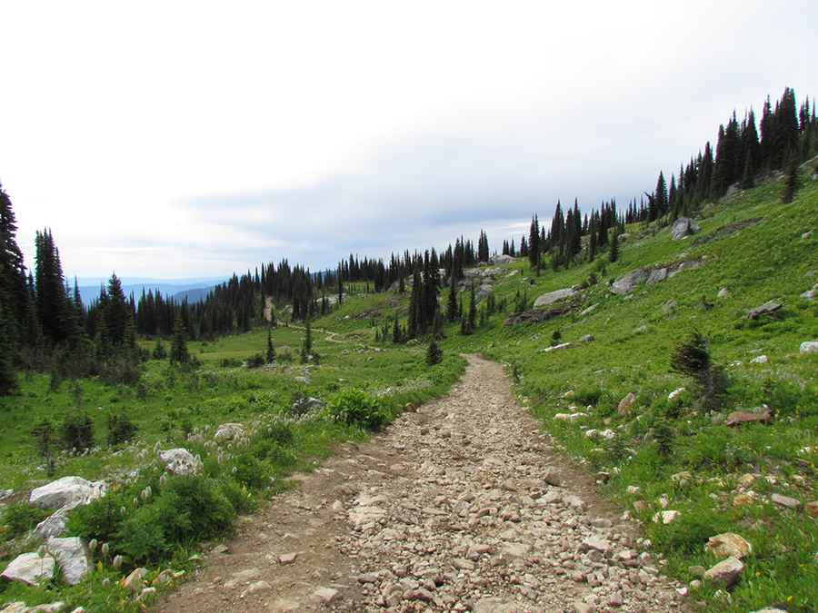
Driving the Rough 4x4 Road to the Lookout at Mara Mountain in BC
Mara Mountain is a high peak with an elevation of 2,249m (7,378ft) above sea level, located in the province of British Columbia, Canada. It’s one of the highest roads in the country.

Where is Mara Mountain?
Also known as Morton Peak, the mountain is situated in the Regional District of North Okanagan in southern British Columbia. The summit hosts a fire watch hut known as the Mara Mountain Fire Lookout, offering views that feel like being at the top of the world.
Is the Road to Mara Mountain Unpaved?
The road to the summit is completely unpaved and is called Mt. Mara Road. It’s rough, challenging, and very steep, with six tight hairpin turns. The narrow shelf road and steep hills may not be suitable for everyone. The first few kilometers are manageable, but then the road quality deteriorates significantly. A high-clearance vehicle is required, and higher up, a sturdy 4WD designed for rough conditions becomes essential. The last part of the trail has even steeper and looser sections.
How Long is the Road to Mara Mountain?
Starting from Kingfisher, the road to the summit is 31.9 km (19.82 miles) long. Over this distance, there’s an elevation gain of 1,932m, with an average gradient of 6.05%.
Is the Road to Mara Mountain Open in Winter?
Set high in the Hunters Range, the road to the summit may be closed due to snow until August.
Pic: North Okanagan Outdoors