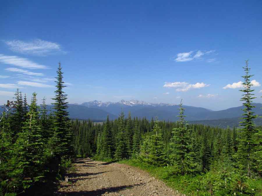
How to Get to the Lookout at Eureka Mountain by Car
Eureka Mountain is a high peak reaching an elevation of 1,968m (6,456ft) above sea level, located in British Columbia, Canada.

Where is Eureka Mountain?
The peak is near Cherryville, in the Regional District of Central Kootenay, in the southern part of the country. The summit hosts a fire lookout tower, known as the Eureka Mountain Fire Lookout. The current structure was built in 1957 to support wildfire management.
When was the Road to Eureka Mountain Built?
A horse trail to the summit was established in 1930, and the road was completed in 1953.
Is the Road to Eureka Mountain Unpaved?
The road to the summit is entirely unpaved and challenging, with steep inclines. A 4x4 vehicle with good ground clearance is essential, as the descent can overheat brakes on the way down.
How Long is the Road to Eureka Mountain?
Starting from the paved BC-6, the road to the summit is 7.9 km (4.90 miles) long, with an elevation gain of 739m and an average gradient of 9.35%.
Is the Road to Eureka Mountain Open in Winter?
Set high in the Monashee Mountains, the road is typically accessible only in summer, as snow makes it impassable the rest of the year.
Pic: Wild Woodsman