How to Travel the Wild Road to Idaho Peak in British Columbia
Idaho Peak is a high mountain at an elevation of 2,121m (6,958ft) above sea level, located in British Columbia, Canada. It’s one of the highest roads in the country.

Where is Idaho Peak?
The peak is in the West Kootenay region of southeastern British Columbia, in the southern part of the country. The summit hosts a lookout tower and offers incredible views of the Selkirk Mountain Range and Slocan Lake.
Is the Road to Idaho Peak Unpaved?
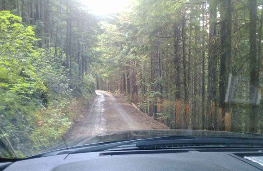
The road to the summit is completely unpaved, rough, narrow, and steep. Known as Idaho Peak Road, the drive up is not for the faint of heart. Be cautious of traffic, as there are few pull-outs for passing oncoming vehicles. The trail has multiple switchbacks to aid in the ascent, and when descending, remember to stop partway to cool your brakes.
Can I Drive My Vehicle to Idaho Peak?
Except during heavy rains, the road to the summit is generally suitable for high-clearance vehicles as it’s well maintained. Low-clearance vehicles are not recommended—attempting the drive in one is too risky.
How Long is the Road to Idaho Peak?
Starting from Sandon, the road to the summit is 11.7km (7.27 miles) long, with an elevation gain of 1,074m and an average gradient of 9.17%.
Is the Road to Idaho Peak Open in Winter?
Set high in the Selkirk Mountains, the road to the summit is only passable from mid-July to mid-August. The road was recently washed out, making it impassable to vehicles.
Pic: Derek Bosch