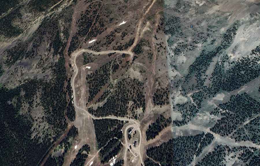
A steep unpaved road to Whitehorn Mountain in AB
Whitehorn Mountain is a high mountain peak at an elevation of 2.525m (8,284ft) above sea level, located in the province of Alberta, Canada. It’s one of the highest roads in the country.

Where is Whitehorn Mountain?
The peak is located in the southern part of Alberta, near the British Columbia border, in the southern part of the country, within the Banff National Park.
How long is the road to Whitehorn Mountain?
The dirt road to the summit is completely unpaved. It’s a service road for a chairlift, with steep sections. A 4x4 vehicle is required. Starting from the paved Trans-Canada Highway, the road to the summit is about 7.0 km (4.34 miles) long.
Is the road to Whitehorn Mountain open?
Set high in the Canadian Rockies, the road is usually passable from May 15 to November 30 each year.