Marchlyn Mawr Dam Road: A Scenic Journey Through Wales' Heartland
Marchlyn Mawr Dam is a natural lake dammed to form a reservoir at an elevation of 643m (2,109ft) above sea level, located in Gwynedd county, in Wales. It’s one of the highest roads of the country.
Is the road to Marchlyn Mawr Dam paved?
Tucked away in Snowdonia, a mountainous region, the road to the lake is totally paved but very narrow. Built from 1975 to 1979, the road features steep sections, hitting a 12.6% of maximum gradient through some of the ramps.
How long is the road to Marchlyn Mawr Dam?
Set high in the north-western part of the country, the road is 5.31km (3.3 miles) long starting from Deiniolen, a village in Gwynedd, at the foot of Elidir Fawr, in Llanddeiniolen Community. Over this distance, the elevation gain is 426 meters. The average percentage is 8.02 %.
Is the road to Marchlyn Mawr Dam open?
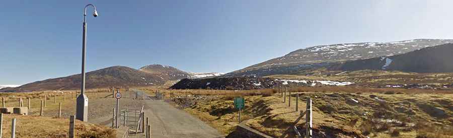
The road to the reservoir is owned by the power/water company. It is possible to cycle up the road to the reservoir but a gate prevents cars from driving on the road. The final 2.89km (1.8 miles) are closed to private vehicles.