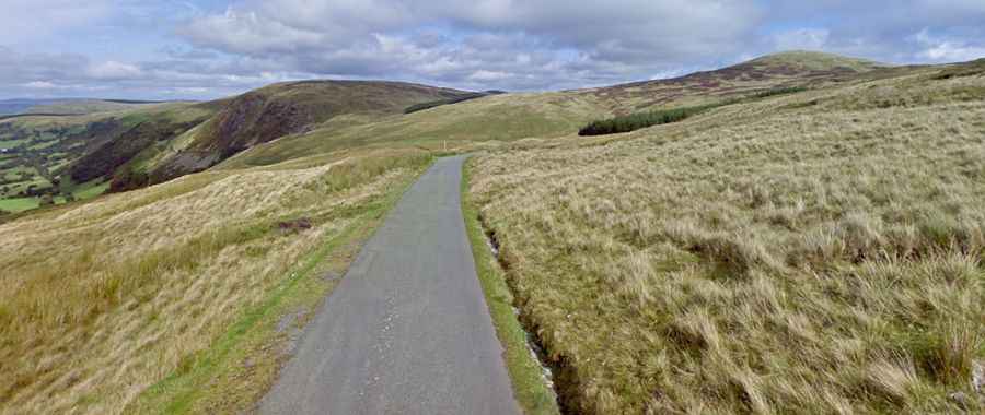
Driving the brutal road to Hellfire Pass in Wales
Bwlch y Groes (Pass of the Cross) is a mountain pass at an elevation of 545m (1,788ft) above sea level, located in the county of Gwynedd, in Wales. It’s one of the highest roads in the country.

Where is Bwlch-y-Groes in Wales?
The pass is located in the Aran Mountains, on the edge of Snowdonia, in the north-western part of the country.
How long is Bwlch-y-Groes in Wales?
The pass, also known as Hellfire Pass, is 19.79km (12.3 miles) long, running south-north from Minllyn to Llanuwchllyn. The length and the gradient of the climb stand out as one of Britain’s toughest.
Is Bwlch-y-Groes difficult?
The road to the summit is totally paved but very narrow and steep, hitting a 25 percent maximum gradient through some of the ramps. Brutal is a word used often in cycling, but there isn’t a better one to describe the climb. In fact, it’s one of the steepest, toughest, and most spectacular climbs in the country. It was used between and after the wars by the Austin Motor Company and the Standard Triumph Motor Company to test prototype cars and their performance during hill climbing. The road is unsuitable for heavy goods vehicles.
How long does it take to drive Bwlch-y-Groes in Wales?
Wild and remote, to drive the road without stopping will take most people between 30 and 45 minutes. It’s a road of outstanding beauty – rough, weathered, and remorselessly steep. The views from the pass encompass the plain of the Dyfi valley, Cadair Idris, and a close view of Aran Fawddwy.