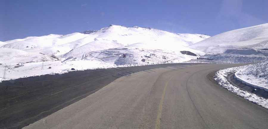
How to get by car to Karakaya Hill in Eastern Anatolia?
Karakaya Hill is a high mountain peak at an elevation of 3,148m (10,328ft) above sea level, located in Erzurum Province, Turkey. It’s one of the highest roads in Europe.

Where is Karakaya Hill?
The peak is located in Eastern Anatolia, in the northeastern part of the country.
What’s at the summit of Karakaya Hill?
At the summit sits the Doğu Anadolu Gözlemevi (Eastern Anatolia Observatory), a world-class astronomical observatory. It is Turkey’s largest and first infrared telescope, with a 4-meter diameter, designed for infrared and optical observations. The observatory enhances scientific research, international collaboration, and technological advancements. It supports astronomy and astrophysics projects, fosters scientific education, and boosts research visibility on a global scale. With cutting-edge facilities, it serves as a hub for space exploration and innovation. The heavy snowfall, low humidity, and cold weather provide ideal conditions for astronomical observations.
How long is the road to Karakaya Hill?
Starting from the paved D950 road, near Taşlıgüney, the road to the summit is 18.8 km (11.68 miles) long. Over this distance, the elevation gain is 1,206 meters, with an average gradient of 6.41%. It’s one of the highest roads in the country.
Is the road to Karakaya Hill paved?
The road to the summit was built in 2018 and consists of paved and unpaved sections.
- The first 9 km, leading to Ejder 3200 Ski Resort, are fully paved and in excellent condition.
- The final 9 km, from the resort to the observatory, are unpaved and quite bumpy. A high-clearance vehicle is recommended.
Is the road to Karakaya Hill open in winter?
Due to the high altitude, the road is subject to heavy snowfall and is usually impassable in winter.
Pic: http://atasam.atauni.edu.tr/galeri/fotograflar/yerleske/