Road trip guide: Conquering Karagol Lake in the Black Sea
Karagöl Dağı is a high mountain crater lake at an elevation of 2.620m (8,595ft) above sea level, located in the Giresun Province of Turkey.

Where is Karagol Lake?
The lake is located in the Black Sea Region, in the northeastern part of the country.
What does Karagol mean?
The lake appears dark blue, almost black because of its deep depth. "Kara" means "black" and "göl" means "lake", hence "Karagöl" means "black lake" in Turkish.
How long is the road to Karagol Lake?
The drive is pretty steep. Starting from Diyanet Aydındere Camii, a mosque at 2.201masl, the ascent is 4.4 km (2.73 miles) long. Over this distance the elevation gain is 419 meters. The average gradient is 9.52%.
How dangerous is the road to Karagol Lake?
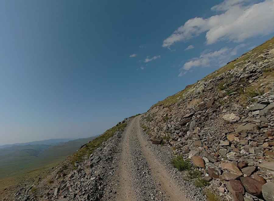
The road to the summit is totally unpaved. 4x4 vehicles only. The road is poorly constructed and has no safety barriers in places, featuring dangerous drop-offs. It’s narrow and wind sharply up the mountain making turns impossible to navigate. At certain points, drivers beep their horns, as it is impossible to see if cars are coming from the opposite direction.
Is the road to Karagol Lake open in winter?
Located within the Karagöl Mountains, the road to the lake is impassable from October to June.
Pic: Makro 360