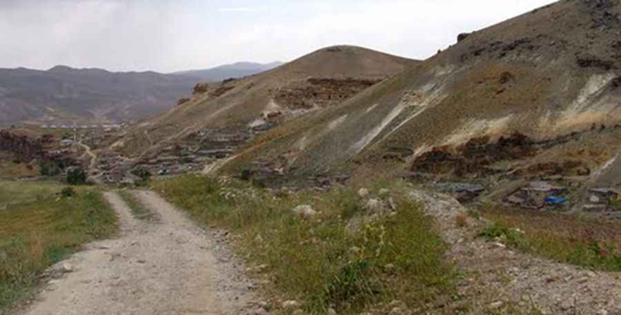
A grueling road to Gul Tepe
Gül Tepe is a high mountain pass at an elevation of 3.304m (10,839ft) above sea level, located in the Ağrı Province of Turkey. It’s one of the highest roads in Europe.

Is Gul Tepe unpaved?
The pass is bordering the Van Province, in the eastern part of Turkey. The road to the summit is very challenging. It’s totally unpaved and narrow. It's one of the highest roads in the country. The road runs entirely above 2.000m above the sea level. A high clearance vehicle is required and a 4x4, recommended. Accessibility is largely limited to the summer season.
How long is Gul Tepe?
Starting from Kuşburnu in the Ağrı Province, the road to the summit is 26.9 km (16.71 miles) long. Over this distance the elevation gain is 1.204 meters. The average gradient is 4.47%.
Pic: https://mw2.google.com/mw-panoramio/photos/medium/41567510.jpg