Driving the wild road to Apivanak Yaylasi
Apivanak Yaylası is a high mountain plateau at an elevation of 2,523m (8,277ft) above sea level, located in Rize Province of Turkey.
Where is Apivanak Yaylası?
The summit is located in the Black Sea region, in the northeastern part of the country, within the Kaçkar Dağları Milli Parkı.
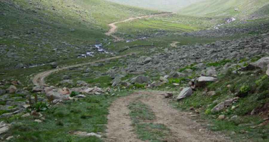
Is the road to Apivanak Yaylası unpaved?
Set high in the Kaçkar Mountains, the road to the summit is totally unpaved. It features narrow parts, steep sections, and severe drops. A 4x4 vehicle is highly recommended.
How long is the road to Apivanak Yaylası?
Starting from Yaylaköy, the road is 15.6 km (9.69 miles) long. Over this distance, the elevation gain is 907m and the average gradient is 5.81%.
Pic: http://www.bisikletgezginleri.com/forum/index.php?Id=3093&alt_id=106797