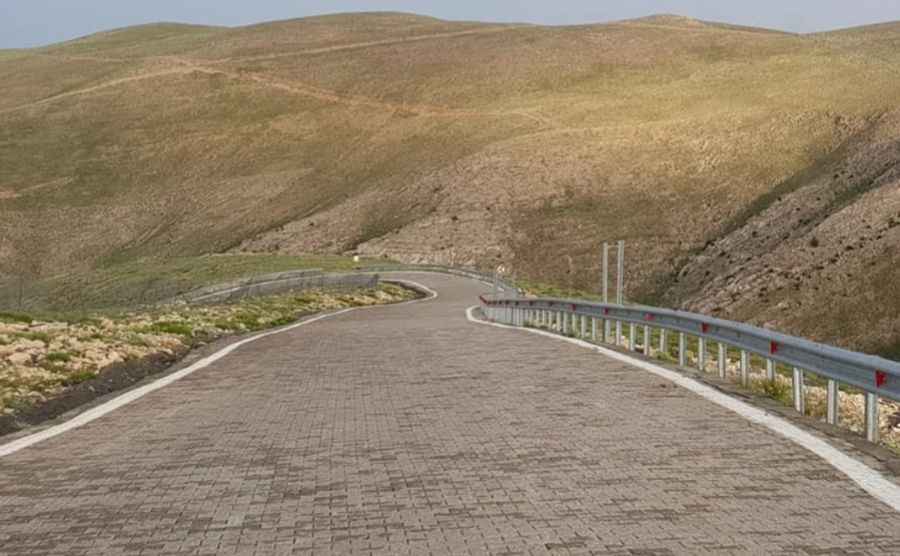
Mount Nemrut is a Fabulous Road if You Don’t Mind Heights
Nemrut Dagi is a high mountain pass at an elevation of 2,134m (7,001ft) above sea level, located in the Anatolia Region of Turkey. The drive to the top is fabulous if you don’t mind heights and steep roads!

Where is Mount Nemrut?
The pass is located on the boundary between Malatya and Adıyaman provinces, between the major cities of Adiyaman and Malatya, in the southeastern part of the country, within Mount Nemrut National Park.
Why is Mount Nemrut Famous?
Mount Nemrut was inscribed on the UNESCO World Heritage List in 1987. At the summit, large statues are erected around what is believed to be a royal tomb from the 1st century BC. Earthquakes have toppled the heads of most statues, and many of the colossal bodies sit silently in rows, while the 2m-high heads rest on the ground, gazing up at visitors.
Is the Road to Mount Nemrut Paved?
The road to the summit is part of the ancient Arsameia road and is paved with cobblestones. It’s called Nemrut Dağı Yolu. The drive is challenging, and as you near the summit, the road becomes steeper, reaching a maximum gradient of 20% in some sections.
How Long is the Road to Mount Nemrut?
The road is 28.4 km (17.64 miles) long, running north-south from Büyüköz (Malatya Province) to Eski Kâhta, formerly Kocahisar (in Adıyaman Province). Near the base of the summit and close to the parking area, there is a small rest house and cafe where visitors can change into warmer clothes and enjoy tea or soft drinks before climbing the last 500 meters to the summit.
When is the Best Time to Drive to Mount Nemrut?
It's best to make the trip on a clear day to enjoy the views. Even in summer, you might need a jacket at the summit, as it can be chilly and windy, especially at sunrise, which is the coldest time of day. The national park is usually open between late May and early October. Outside of these months, the road is often impassable due to snow.
Pic: Margareth Yap