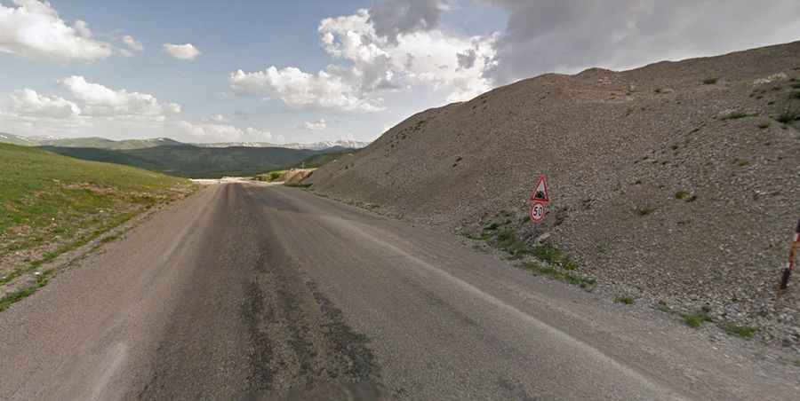
An epic road to Agziacik Gecidi in Turkey
Ağzıaçık Geçidi is a high mountain pass at an elevation of 2.308m (7,572ft) above sea level located in Erzurum Province, in Turkey.

Where is Agziacik Gecidi?
The pass is located in the Eastern Anatolia Region, in the eastern part of the country.
How long is Agziacik Gecidi?
The road to the summit is totally paved. It’s called D925. The pass is 19.3 km (11.99 miles) long, running south-north from Toprakkale to Güneyköy.
Is Agziacik Gecidi open?
Access to the pass is typically open all year round, but short-term closures are common in winter due to dangerous weather conditions. West of the summit, a minor gravel road climbs up to Ardıçı Tepe, a high mountain peak at an elevation of 2.633m (8,638ft) above sea level.