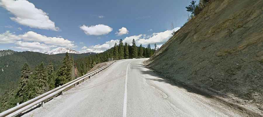
Ilgazdagi Gecidi is a road with high risk of rock slides
Ilgaz Dağı Geçidi is a high mountain pass at an elevation of 1.866m (6,122ft) above sea level, located on the boundary between Kastamonu and Çankiri provinces, in Turkey.

Where is Ilgazdagi Gecidi?
The pass is located in the Black Sea region, in the northern part of the country.
Is Ilgazdagi Gecidi paved?
The road to the summit is totally paved, with concrete parts near the summit. It’s called D765. It’s winding, with some narrow parts. When the snow falls - which it does in the winter – things get tough and slippery. Drive carefully: high risk of rock slides. Due its dangerousness and the harsh conditions of the area, in 2012 the road to the summit was bypassed by a 5,4km long tunnel, called Ilgaz 15 Temmuz İstiklal Tüneli.
How long is the road to Ilgazdagi Gecidi?
The road to the summit is very steep. Starting from Mülayim Yenice, the ascent is 8.8 km (5.46 miles) long. Over this distance the elevation gain is 608 meters. The average gradient is 6.90%. The maximum slope is 10%. At the summit, a minor gravel road climbs up to the TRT Vericisi İstasyonu, a communication tower at an elevation of 2.063m (6,768ft) above the sea level.