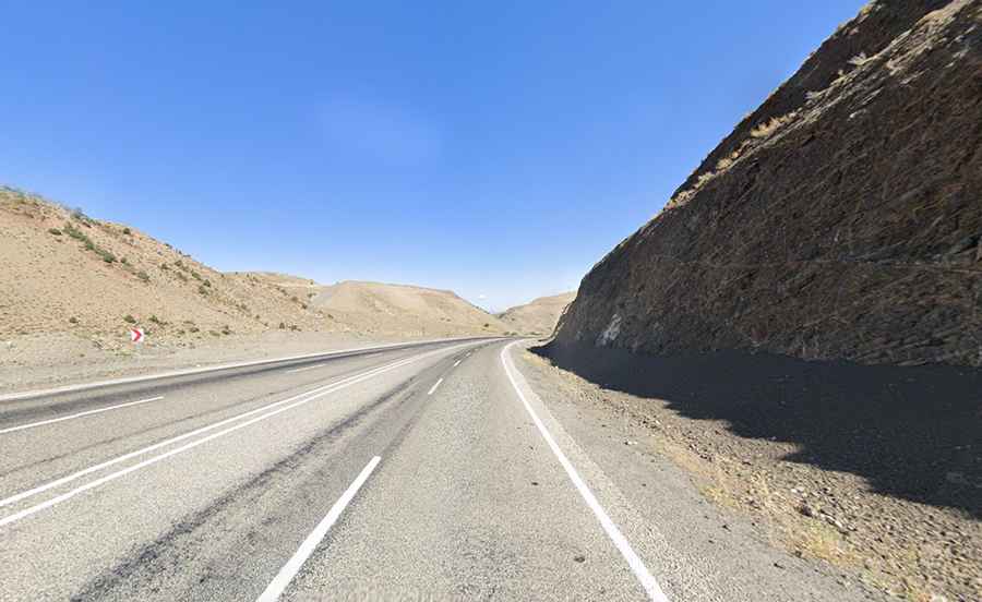
Driving the Paved State Road D950 in eastern Turkey
State Road D950 is a major north-south route in eastern Turkey, connecting the Black Sea to the Syrian border. The road passes through mountainous terrain, high-altitude passes, and busy transport corridors, making it an important but challenging drive.

Where is State Road D950?
The road runs through the provinces of Artvin, Erzurum, Bingöl, Diyarbakır, and Mardin.
How long is State Road D950?
The road is fully paved (not in the best condition). It’s 717 km (446 mi) long, running from Hopa (at the Black Sea coast near the Georgian border) to Şenyurt (at the Syrian border). It includes numerous tunnels and is frequently used by heavy vehicles due to its strategic location.
How long does it take to drive State Road D950?
Without stops, the drive takes about 9 hours.
Is State Road D950 open in winter?
The road crosses three high passes—Güzelyayla (2.137m-7,011ft), Yaylasuyu (2.362m-7,749ft), and Çirişli (2.320m-7,611ft)—which experience heavy snowfall in winter. After major snowfalls, some sections may be temporarily closed for clearing.