Driving the Paved Road to Ziyeret Pass in Central Anatolia
Ziyeret Geçidi is a high mountain pass at an elevation of 1,933m (6,341ft) above sea level, located on the boundary between Kayseri and Sivas provinces in Turkey.
Where is Ziyeret Pass?
The pass is situated south of Ziyarettepe Geçidi, in the eastern part of the Central Anatolia region, in the heart of the country.
Is Ziyeret Pass Paved?
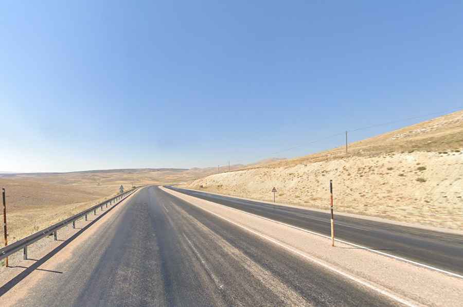
The road through the summit is fully paved. It is known as State Road D.300, connecting Kayseri to Malatya. The D.300 is a four-lane highway for most of the route, except for two short sections toward the western end. It is the second-longest state highway in Turkey, after the D.400.
How Long is Ziyeret Pass?
The road through the pass stretches 101km (62.75 miles), running west to east from Pınarbaşı (the seat of Pınarbaşı District in Kayseri Province) to Gürün (the seat of Gürün District in Sivas Province). It is a very quiet road, with limited amenities along the way. From Pinarbasi to Gurun, you will pass through only one or two villages, and it is difficult to find restaurants or gas stations.
Is Ziyeret Pass Open in Winter?
The road is notorious for being icy and is often closed in winter due to blizzards. While it typically stays open year-round, brief closures in winter are common due to hazardous weather conditions. Depending on the season, there is a high chance you will encounter snow, especially between November and March, when the area experiences very cold temperatures.