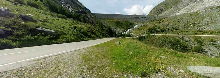
Driving to Stausee Mattmark is an absolute must for road lovers
Mattmark See is a high mountain reservoir at an elevation of 2,197m (7,208ft) above sea level, located in the Canton of Valais, in Switzerland.

Where is Stausee Mattmark?
The reservoir is located in the southern part of the country, near the Italian border, within the Saas Valley.
Is the road to Stausee Mattmark paved?
The road to the reservoir is fully paved and in extremely good condition. It was built from 1960 to 1965. The best part of the climb is the last few kilometres, as things get steep as the dam comes into sight. There is a glacier above the finish at the end of a very straight steep last half kilometre.
How long is the road to Stausee Mattmark?
Starting from Saas-Almagell (at an elevation of 1,673m above sea level), the ascent is 7.3 km long. Over this distance, the elevation gain is 524 meters, and the average gradient is 7.2%, but the final 2 km are quite challenging with a slope of 10% on average. The climb is never very steep apart from the last long ramp up to the dam, where it is around 14%.
Pic: Fritz Hanke