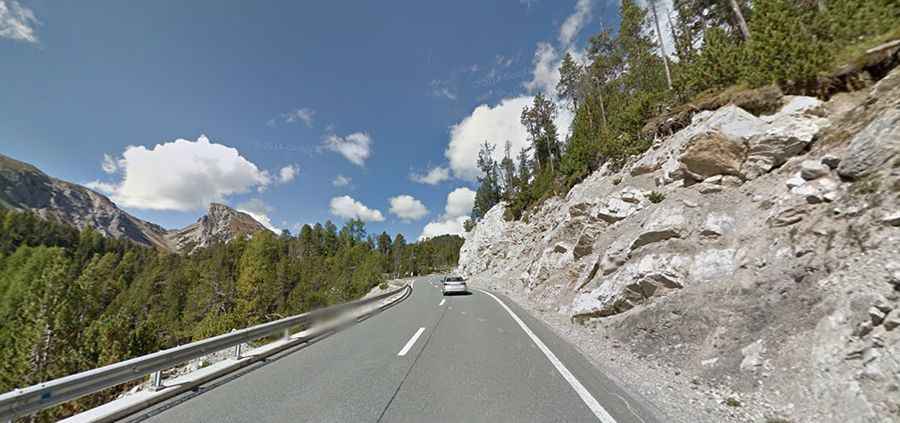
A scenic mountain road to Ofen Pass in Switzerland
Ofen Pass is a high mountain pass at an elevation of 2.156m (7,073ft) above sea level, located in the Engiadina Bassa/Val Müstair Region of the Swiss canton of Graubünden.

Where is Ofen Pass?
The pass, also known as Ofenpass, Fuorn Pass, Passo del Forno and Passo del Fuorn, is located in the most eastern corner of the country.
Why is it called Ofen Pass?
The pass derives its name from the ovens once utilized in the ironworks of the region, with remnants of these structures still visible from nearby trails.
Is Ofen Pass paved?
The road to the summit is totally paved. It’s called Route 28. The first road through the pass was built in 1864.
How long is Ofen Pass?
The road is 31.3 km (19.44 miles) long running west-east from Zernez to Val Müstair. The traffic is somewhat moderate even though it should be an obvious through route, but heavy lorry traffic probably much prefer Reschen Pass (Passo di Rèsia).
Is Ofen Pass challenging?
The road to the summit is very steep, hitting a 14.3 % of maximum gradient through some of the ramps. This road is usually open all year round, but it can be closed anytime when the access is not cleared of snow. Remember to strictly follow the speed limits. The local police is often hidden behind houses with a radar gun and Swiss tickets are damned expensive.