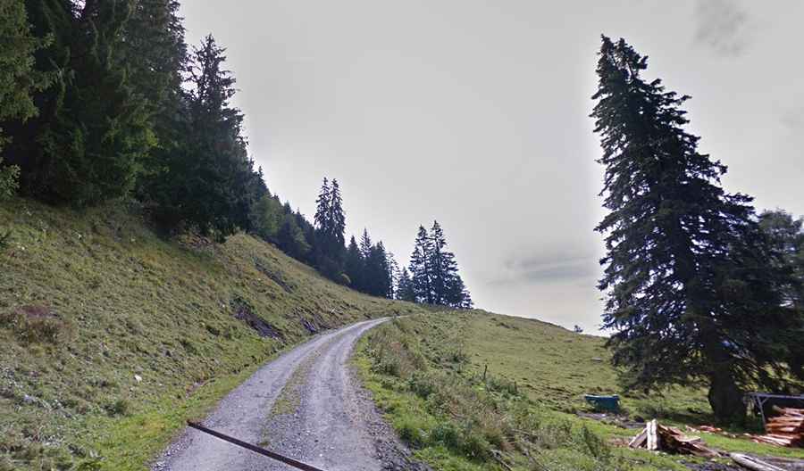
A very steep road to Ronda in the canton of Vaud
Rionda is a legendary high mountain peak at an elevation of 2.157m (7,076ft) above sea level, located in Switzerland.

Where is Rionda?
The peak is located in the canton of Vaud, in the southern part of the country, near the French-Italian border. The mountain has a military installation atop the mountain overlooking the area around Martigny and the climb from Lavey-les-Bains is one of the absolutely hardest climbs anywhere in the world.
How steep is the road to Rionda?
The road to the summit has paved and unpaved sections. It starts from Lavey-Morcles, a municipality in the district of Aigle, at an elevation of 442m (1,450ft) above sea level. The horrendous climb tops out at 2.157m, at the top of Rionda. Except for km 8 and the last km, the pass never drops below 10%. The climb is not very hard at the beginning, but soon it becomes pretty steep and stays that way through a long series of numbered serpentines up to Lavey-Morcles.
How long is the road to Rionda?
Starting from Lavey-Morcles, the ascent is 15.3km (9.5 miles) long. Over this distance, the elevation gain is 1.715 meters. The average percentage is 11.2 %. According to some dangerousroads.org users, as of July 2015, 'unfortunately there is a barrier with a padlock at approx. 1.750m above sea level (there is here a car park), which is closed. Impossible to drive further: what a pity!'.