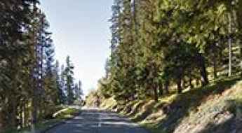
What are the most spectacular roads in Switzerland?
Set high in the Alps, in the central part of Europe, Switzerland offers a driving experience like no other. With about 200 of the most famous roads in the world, it’s worth noting the challenging mountain roads the country offers, renowned for their stunning Alpine landscapes.
Most of the country's roads are on the list of the most famous and iconic drives worldwide. So, when travelling to the country, you need to try Furka Pass, the Alpine road for James Bond. The pass was immortalized by the Aston Martin DB5 / Ford Mustang car chase in James Bond's Goldfinger. It’s one of the most famous Alpine roads in Switzerland. Or the amazing mountain road to St. Gotthard Pass, at an elevation of 2,110m (6,922ft) above sea level. It’s also worth driving through Great Saint Bernard Pass, one of the most famous roads in the Alps, climbing up to 2,469m (8,100ft) above sea level on the border with Italy.
The list wouldn’t be complete without Grimsel Pass, a 5-star road in the Swiss Alps, on the border between the Bern and Valais cantons, or the Umbrail Pass, an iconic Alpine road with 35 hairpin turns on the Swiss-Italian border. The road to the summit is currently the highest paved road in Switzerland and one of the highest paved roads in the Alps.
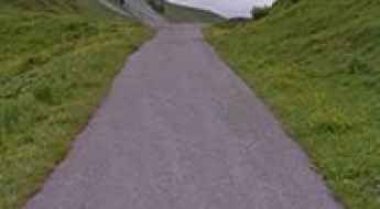
Corne de Sorebois
Corne de Sorebois is a high mountain peak at an elevation of 2.879m (9,445ft) above the sea level, located in southern Switzerland’s Valais canton. It’s one of the highest roads of Europe.
Cima di Medeglia
Cima di Medeglia is a high mountain pass at an elevation of 1.260m (4,133ft) above the sea level, located in the district of Bellinzona in the canton of Ticino in Switzerland.
Greitspitz
Greitspitz is an international high mountain peak at an elevation of 2.876m (9,435ft) above the sea level, located on the border between Switzerland and Austria. It’s one of the highest roads of Europe.
Alp Mandelon
Alp Mandelon is a high mountain pass at an elevation of 2.066m (6,778ft) above the sea level, located inthe Pennine Alps, in the canton of Valais, Switzerland.
Portes de Culet
Portes de Culet is a high mountain pass at an elevation of 1.787m (5,862ft) above the sea level, located in the canton of Valais in Switzerland.
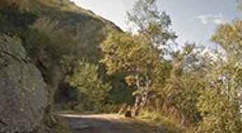
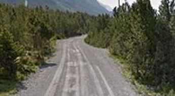
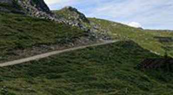
Strada Alpe Piora, a challenging road in the Swiss Alps
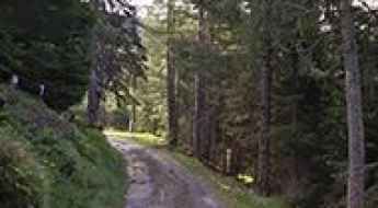
Strada Alpe Piora is the name of a very challenging road located in the Northern region of Canton Ticino, in Switzerland.

Aurafreida
Aurafreida is a high mountain pass at an elevation of 2.160m (7,086ft) above the sea level, located in the district of Bernina in the canton of Graubünden in Switzerland.
Fraele Pass
Passo di Fraele is a high mountain pass at an elevation of 1.955m (6,414ft) above the sea level, located near the border between Switzerland and Italy and belongs to the Alps.
Glaspass
Glaspass is a high mountain pass at an elevation of 1.846m (6,056ft) above the sea level, located in the district of Hinterrhein in the Swiss canton of Graubünden.
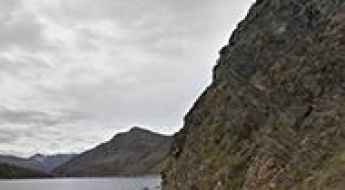
Melchsee
Melchsee is a high mountain lake at an elevation of 1.891m (6,204ft) above the sea level, located in the canton of Obwalden, Switzerland.
Pont du Lancet
Pont du Lancet is a high mountain tunnel at an elevation of 2.057m (6,748ft) above the sea level, located in the Valais region of Switzerland.
Zervreilasee
Zervreilasee is a high mountain reservoir at an elevation of 1.862m (6,108ft) above the sea level, located in the canton of Graubünden, Switzerland.
Palinkopf
Palinkopf is an international high mountain peak at an elevation of 2.863m (9,393ft) above the sea level, located on the border between Switzerland and Austria. It’s one of the highest roads of Europe.
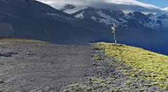
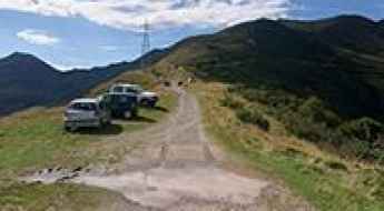
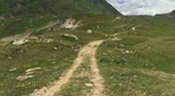
A memorable road trip to Hohtälli
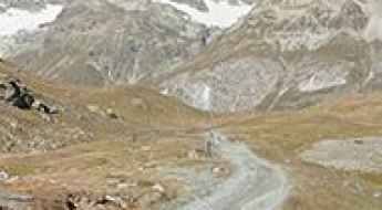
Hohtälli is a high mountain peak at an elevation of 3.274m (10,741ft) above the sea level, located in the canton of Valais, in the southwestern part of Switzerland. It’s one of the highest roads of Europe.
San Jorio Pass
Passo San Jorio (Passo di San Iório) is an international high mountain pass at an elevation of 2.012m (6,601ft) above the sea level located on the border of Switzerland and Italy.
A wild road to San Lucio Pass
Passo San Lucio is an international high mountain pass at an elevation of 1,541 m (5,056 ft) above sea level, located on the border of Switzerland and Italy.
Stralegg
Stralegg is a high mountain pass at an elevation of 1.675m (5,495ft) above the sea level, located in the Appenzell Alps, in the canton of St. Gallen, close to the Switzerland-Lichenstein border.
A wild paved road to Lago dei Cavagnöö
Lago dei Cavagnöö is a high mountain lake at an elevation of 2.352m (7,716ft) above the sea level, located in the canton of Ticino in Switzerland.
Col du Tronc
Col du Tronc is a high mountain pass at an elevation of 1.612m (5,288ft) above the sea level, located in the district of Martigny, in the canton of Valais, in Switzerland.
Alp Curtginatsch
Alp Curtginatsch is a high mountain pass at an elevation of 2.274m (7,460ft) above the sea level, located in the district of Hinterrhein in the Swiss canton of Graubünden.
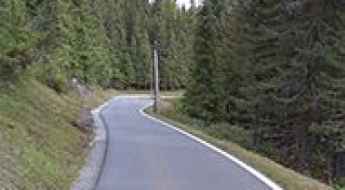
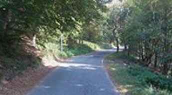
Col du Marchairuz
Col du Marchairuz is a mountain pass at an elevation of 1.447m (4,747ft) above the sea level, located in the canton of Vaud in Switzerland.
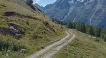
Cabane de Chanrion, a beautiful, remote and fantastic road
The Cabane de Chanrion is a high mountain hut at an elevation of 2.471m (8,106ft) above the sea level, located in the upper Val de Bagnes in the canton of Valais in Switzerland.
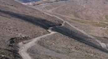
A wild unpaved road to Val Viola Pass
Passo di Val Viola is an international high mountain pass at an elevation of 2.432m (7,979ft) above the sea level, located in the Alps on the border between Switzerland and Italy.
Refuge de Saint-Laurent
Refuge de Saint-Laurent is a high mountain refuge at an elevation of 2.492m (8,175ft) above the sea level, located in the municipality of Nendaz, in the district of Conthey in the canton of Valais in Switzerland.
Alp Mora
Alp Mora is a high mountain pass at an elevation of 2.340m (7,677ft) above the sea level, located in the Swiss Ortler Alps, in the canton of Graubünden.
Alpe di Gesero
Alpe di Gesero is a high mountain pass at an elevation of 1.774m (5,816ft) above the sea level, located in the Lepontine Alps, on the Swiss canton of Ticino.
Tannensee
Tannensee is a high mountain lake at an elevation of 1.976m (6,482ft) above the sea level, located in the canton of Obwalden, Switzerland.
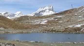
Schwarzsee
The Schwarzsee is a high mountain lake at an elevation of 2.588m (8,490ft) above the sea level, located in the canton of Valais, in the southwestern part of Switzerland.
Alpe Cortaccio
Alpe Cortaccio is a mountain peak at an elevation of 1.067m (3,498ft) above the sea level, located in the district of Locarno in the canton of Ticino in Switzerland. The final 4,6 km of climb have an average gradient of 14,5% with several long sections at between 17% and 22%.
Passo dell'Uomo
Passo dell'Uomo is a high mountain pass at an elevation of 2.224m (7,296ft) above the sea level, located in the district of Leventina in the canton of Ticino in Switzerland.
The wild road to Testa Grigia in the Alps
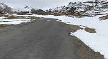
Testa Grigia is an international high mountain peak at an elevation of 3.471m (11,387ft) above sea level, located on the border of Switzerland and Italy. It’s one of the highest roads of Europe.
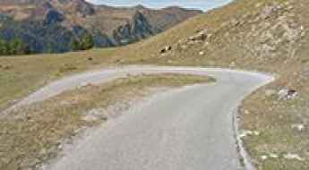
Travel guide to the top of Pointe du Tsaté
Pointe du Tsaté is a high mountain peak at an elevation of 2.491m (8,172ft) above the sea level, located in the in the central part of the canton of Valais in Switzerland. The average gradient is 10.21%.
Monte Sighignola
Monte Sighignola is an international mountain pass at an elevation of 1.314m (4,311ft) above the sea level, located on the border between the Italian region of Lombardy and the Swiss canton of Ticino.
Thyon 2000
Thyon 2000 is a ski station at an elevation of 2.095m (6,873ft) above the sea level located in the Swiss Alps, located in the canton of Valais.
Col des Becs de Bosson
Col des Becs de Bosson is a high mountain peak at an elevation of 2.882m (9,455ft) above the sea level, located in the Swiss canton of Valais. It’sone of the highest roads of Europe.
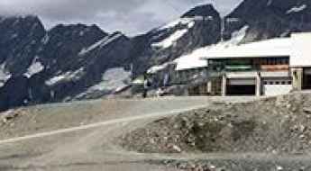
Buvette d'Arolla
Buvette d'Arolla is a high mountain restaurant at an elevation of 2.879m (9,445ft) above the sea level, located in the Swiss Alps, located in the canton of Valais. It’s one of the highest roads of Europe.