If you don’t like turns, better avoid Road GC-606 on the Canary Islands
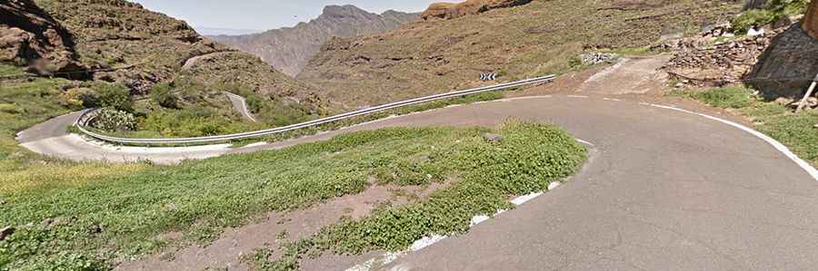
GC-606 is a mountain road located in Las Palmas Province, in the Canary Islands of Spain. It’s one of the most challenging roads on the island—spectacular or terrifying, depending on how you handle heights.
Where is Road GC-606?
The road is located near Ayacata, in the western part of the island of Gran Canaria. The drive provides stunning views, and along the way, you can stop to admire the Tamadaba Massif and the Presa de Parralillo reservoir.
How long is Road GC-606?
The winding mountain road is fully paved. It’s 11.9 km (7.39 miles) long and features 23 hairpin turns. Take extra care with the strong winds, narrow sections, dangerous drops, and the absence of guardrails. The road tops out at 1,377m (4,517ft) above sea level.
Where does Road GC-606 start and end?
The road runs west-east, from GC-210 Road to GC-60 Road, passing through the towns of Carrizal de Tejeda and El Toscón. Expect to spend a good hour and a half driving, as the road is barely wide enough for a car, with long stretches completely lacking barriers.