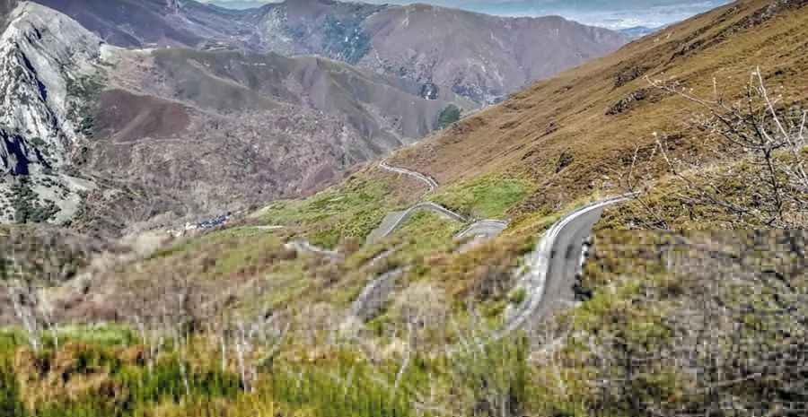
Driving the wild curvy road to Alto de la Cruz
Alto de la Cruz is a high mountain pass at an elevation of 1.475m (4,839ft) above sea level, located in the province of León, in Spain.

Where is Alto de la Cruz?
The pass is located in the northwestern part of the autonomous community of Castile and León, in the northern part of the country.
Is Alto de la Cruz paved?
Located in the region of El Bierzo, within the Valle del Silencio valley, the road to the summit is fully paved but cracked and bumpy in places. It’s called the LE-CV-192/21 road.
Is Alto de la Cruz open in winter?
Set high in the Montes de León mountain range, the pass is usually open year-round, but short-term closures in winter are common.
How long is Alto de la Cruz?
The road is 38km (24 miles) long, running north-south from Salas de los Barrios to Corporales. There is very little traffic on the climb.
How to get to Alto de la Cruz from Peñalba de Santiago?
The pass can be also reached by a minor road starting at Peñalba de Santiago, a mountain town at an elevation of 1.100m (3,608ft) asl. It’s said to be one of the most beautiful towns of the country, a remote village up in the clouds. The town is home to Iglesia de Peñalba de Santiago, a church built in the purest Mozarabic style. The bendy and twisty road was totally paved in 2018 but features a big risk of rock slides. The drive comprises some of the most beautiful scenery that exists in the region of Castilla y León. Starting from Peñalba de Santiago parking lot, the road is 2.9 km long. Over this distance the elevation gain is 382 meters. The average gradient is 13.17%, hitting a 17% through some of the ramps.
Pic: Ramon Gonzalez Llamazares
Road suggested by: jorge manuel gómez sánchez