The Road to Pico Gallinero is a High Mountain Challenge in the Pyrenees
Pico Gallinero is a high mountain peak at an elevation of 2,613m (8,572ft) above sea level, located in the province of Huesca, Spain. It features one of the highest roads in the country.
Where Is Pico Gallinero?
The peak is situated in the comarca of Ribagorza, within the autonomous community of Aragón, in the northern part of Spain, inside the Benasque Valley.
Is the Road to Pico Gallinero Unpaved?
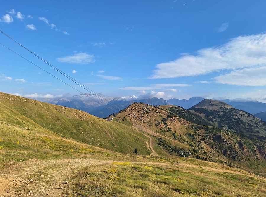
Set high in the heart of the Pyrenees, the road to the summit is completely unpaved and closed to private vehicles. It is a rugged trail, primarily used for ski lift maintenance and lodge access. The road is open only during the summer, and a 4x4 vehicle is required to navigate the challenging terrain.
How Long Is the Road to Pico Gallinero?
Starting from Collado del Ampriu, the road to the summit is 3.2km (1.98 miles) long. Over this distance, the elevation gain is 464m, with an average gradient of 14.5%.
Pic: Rima Paukste