A brutally steep (20%) unpaved track to Puig Falcó in the Pyrenees
Puig Falcó is a high mountain peak at an elevation of 2,754m (9,035 ft) above sea level, located in the province of Lleida, Spain. It's one of the highest roads in Europe.
Where is Puig Falcó?
The peak, also known as Cap de les Raspes Roies, is located in the autonomous community of Catalonia, in the northern part of the country, within the Aigüestortes i Estany de Sant Maurici Natural Park. The summit offers impressive views of Pallars Jussà and Pic of the Orri in the neighbouring ski resort of Port Ainé.
Is the road to Puig Falcó unpaved?
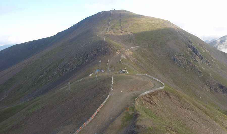
Set high in a setting of exceptional natural and cultural richness deep in the Vall de Boí of the Catalonian Pyrenees mountains, in the Boi-Taüll ski resort, the road to the summit is an unpaved chairlift access trail with a few narrow and steep sections (up to 25%). 4x4 vehicles with high clearance only. It's one of the highest roads in the country.
How long is the road to Puig Falcó?
The road to the summit is brutally tough, with rough sections on a very rocky, slippery path/ski piste with occasionally impossible steepness. Starting at the parking lot of the Boi-Taüll ski resort, the ascent is 3.5 km (2.17 miles) long. Over this distance, the elevation gain is 699 meters. The average gradient is 19.97%.
Pic: http://sempremoltmeslluny.blogspot.com/2013/09/solitaria-solitaria-la-vall-de-manyanet.html