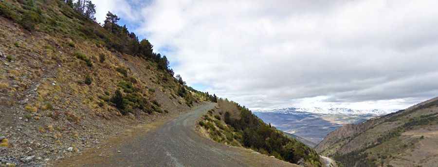
Driving the wild road to Col de Caralps in the Pyrenees
Col de Caralps is an international high mountain pass at an elevation of 2,501m (8,205ft) above sea level, located on the French-Spanish border. It’s one of the highest roads in the country.

Where is Col de Caralps?
The pass is located to the east of Cim de Coma Morera. It links the comarca of Ripollès in the province of Girona in the autonomous community of Catalonia, in northern Spain, to the Pyrénées-Orientales department in the Occitania region, in southern France.
How long is the road to Col de Caralps?
Set high in the Pyrenees mountain range, the road to the summit is totally unpaved. A 4x4 vehicle is required. Starting from the paved N260 in Spain, the road is 13.4 km (8.32 miles) long.