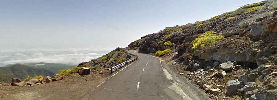
Driving the Beautiful LP-4 Road in the Canary Islands
Carretera LP-4, locally known as Carretera del Roque, is a breathtaking road located in the province of Santa Cruz de Tenerife in the Canary Islands. It's one of the highest roads in Spain.

Is the LP-4 Road in the Canary Islands Paved?
The road is situated in the northern part of La Palma Island and offers stunning panoramic views. It is fully paved but very steep, reaching an elevation of 2,306m (7,566ft) above sea level. The road provides access to Roque de Los Muchachos, the highest point on the island.
How Long Is the LP-4 Road in the Canary Islands?
Winding through the Caldera de Taburiente National Park, the road stretches 49.9 km (31 miles), connecting the city of Santa Cruz de la Palma to the town of Hoya Grande.
How Challenging Is the LP-4 Road in the Canary Islands?
The route features numerous sharp turns and twists and sees minimal traffic. Due to its high-altitude mountain characteristics, drivers are advised to exercise extreme caution. While the road offers spectacular scenery, its mountainous nature requires driving at a slow and careful pace to ensure safety.