A brutally steep road to Alto de Aitana in Alicante
Alto de Aitana is a high mountain peak at an elevation of 1,543m (5,062ft) above sea level located in the province of Alicante, in Spain. The summit is placed within the boundaries of a Spanish army facility.
Where is Alto de Aitana?
The peak is located in the southern part of the Valencian Community, in the eastern part of the country. It is the highest spot in the whole province of Alicante.
What’s at the summit of Alto de Aitana?
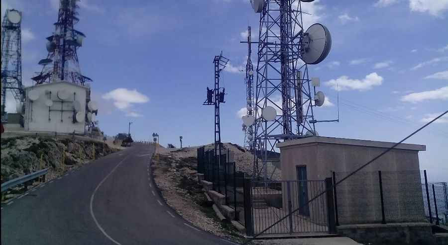
The summit hosts a military base as well as communication towers, a radar dome, and TV antennas. Due to the military nature of the summit, the road is totally closed to private vehicles, and blocked with a barrier.
How long is the road to Alto de Aitana?
Set high in the Sierra Aitana, the road to the summit is totally paved. It is very steep, getting harder towards the end. It hits a 14.6% maximum gradient through some of the ramps. Starting from Port de Tudons, the ascent is 6.5 km (4.03 miles) long. Over this distance, the elevation gain is 516 meters. The average percentage is 7.93%. It has been featured in the Spanish Vuelta race.
Pic: Vicente port