How To Have The Ultimate Road Trip To Pico Agujas
Pico Agujas is a high mountain peak at an elevation of 2,101m (6,893ft) above sea level, located in the province of León, in the northwestern part of the autonomous community of Castile and León, in Spain. It’s one of the highest roads of the country.

Is the track to Pico Agujas unpaved?
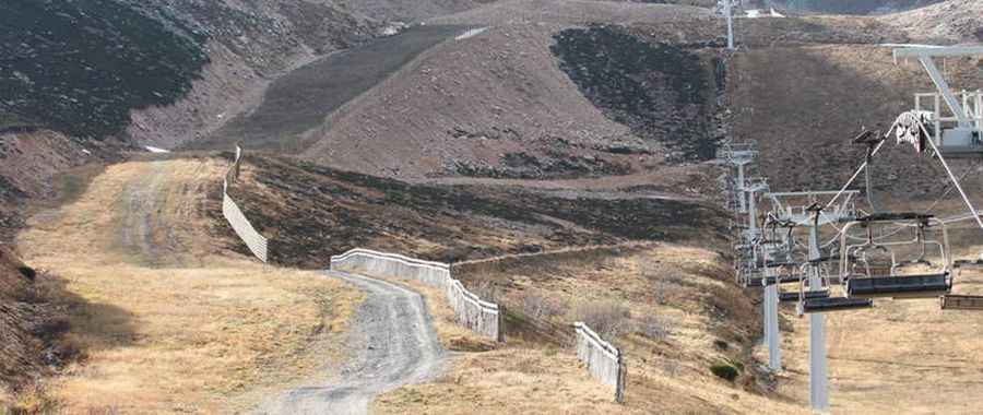
Set high in the northwestern part of the country, the road to the summit, also known as Collado Agujas or Collá las Agujas, is entirely unpaved. It’s a chairlift access service road of the San Isidro ski resort. With countless hairpins and steep sections, a 4x4 vehicle is required.
How long is the track to Pico Agujas?
Located within the Redes Natural Park, the road to the summit is 3.8 km (2.36 miles) long, starting from the Aparcamiento Sector Cebolledo parking lot. Over this distance, the elevation gain is 406m. The average gradient is 10.68%. It’s usually impassable from October to June.
Pic: http://www.diariodeleon.es/noticias/leon/diputacion-disenara-plan-rentabilizar-san-isidro-todo-ano_912291.html