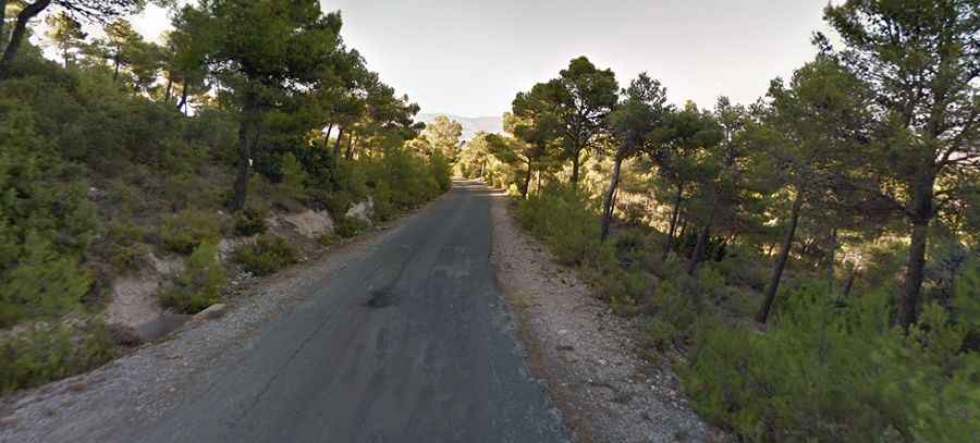
Climbing the steep road to Alto de Xorret de Cati in Valencia Region
Alto de Xorret de Catí is a mountain pass at an elevation of 1.097m (3,599ft) above sea level, located in the province of Alicante, in the Valencia region of Spain.

Where is Xorret de Cati?
The pass is located in the comarca of L'Alcoià, in the southeastern part of the country, high in Sierras del Maigmó y del Fraile mountain range.
Is Xorret de Cati paved?
The road to the summit is fully paved in fairly good condition, although it is a bit bumpy in places. It’s called CV-817.
How long is Xorret de Cati?
The pass is 20.3 km (12.61 miles) long running from Castalla to Petrer (in the comarca of Vinalopó Mitjà). There is generally very little traffic on the climb, although expect a few cars if you go on a weekend.
Is Xorret de Cati challenging?
This road is narrow and very steep, with sections reaching 20-22% inclines. It has been featured in the Spanish Vuelta a España race and is accessible year-round. At the summit, there used to be a monument dedicated to cyclists. This sculpture weighed 300 kilograms and measured 175x55x178cm. In May 2023, despite its substantial weight and size, the sculpture was stolen.