A Delightful Yet Challenging Road to the Summit of Puerto El Peñon in Castile and Leon
Puerto El Peñón is a high mountain pass at an elevation of 1,840m (6,036ft) above sea level, located in the autonomous community of Castile and León, in Spain.

Where is Puerto El Peñón?
The pass, also known as Alto del Peñón or Puerto de Vizcodillo, is located on the boundary between the provinces of León and Zamora, in the northwestern part of the country.
Is Puerto El Peñón Paved?
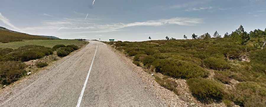
The road to the summit is called ZA-P-2665. It is fully paved but in very poor condition, with potholes caused by winter snow. Due to the harsh meteorological conditions every winter, the road typically requires repairs in the spring or summer to fix large holes.
How Long is Puerto El Peñón?
The pass is 36.9 km (22.92 miles) long, running north-south from Truchas (in León) to El Puente (in Zamora). The climb is quite steep, with sections reaching up to a 12% maximum gradient.