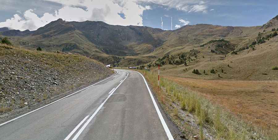
The Road to Collado del Ampriu in the Pyrenees Has It All
Collado del Ampriu is a high mountain pass at an elevation of 2,261m (7,417ft) above sea level, located in the province of Huesca, Spain. It's one of the highest roads in the country.

Where Is Collado del Ampriu?
The pass, also known as Alto del Ampriu and Puerto del Ampriu, is located in the comarca of Ribagorza, within the autonomous community of Aragón, in the northern part of Spain, inside the Benasque Valley.
Why Is Collado del Ampriu Famous?
Set high in the heart of the Pyrenees, the pass serves as the starting point for many unpaved roads leading to nearby mountain peaks used for maintaining chairlifts. These include:
- Pico Gallinero, at 2,613m (8,572ft) above sea level.
- Pico Labert, at 2,316m (7,598ft) above sea level.
- Pico Cogulla, at 2,351m (7,713ft) above sea level.
- Pico de Cerler, at 2,322m (7,618ft) above sea level.
Is the Road to Collado del Ampriu Paved?
The road to the pass is fully paved but extremely steep, with slopes exceeding 12%. It has been featured multiple times in the Vuelta a España, but only up to the end of the paved section, at 1,912m (6,272ft) above sea level. At this point, there’s a large parking lot and a small gravel road (closed to private vehicles) leading to the actual pass, which is about 1 km further.
How Long Is the Road to Collado del Ampriu?
Starting from Cerler, at an elevation of 1,571m above sea level, the ascent is 9.6 km long. Over this distance, the elevation gain is 690 meters, with an average gradient of 7.1%.