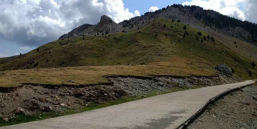
The Wild Road to Collado de Sahun
Collado de Sahún is a high mountain pass at an elevation of 1.998m (6,555ft) above the sea level, located in the province of Huesca, within the autonomous community of Aragon, in Spain.

Can you drive through Collado de Sahún?
Set high on the northern part of the country, the road to the summit is mostly unpaved with concrete sections, smooth enough for cars. Caution with loose gravel. It’s called Pista de Chía. The road was built in the 1970’s. Near the summit is a mountain cabin known as Refugio Puerto Sahún. San Juan de Plan. Valle de Gistaín. To establish some simple comparisons that serve as an introduction for those who do not know the pass, Sahún in the Plan side can be compared with the well-known ascent to Luz Ardiden, in France. The Ribagorzana side could be quite similar to another mythical French pass, Col de l'Aubisque.
How long is Collado de Sahún?
The pass is 24.1 km (14.97mi) long, running east-west from Chía to Plan. The road is not easy, with uncountable turns, twists and 20 hairpin turns. SUV’s and vehicles with high clearance are recommended. Very steep and narrow sections along the track, hitting a 25% of maximum gradient through some of the ramps. The pass can be approached from either side. The official pass is at 1.998m and overlooks the spectacular Barranco Llisat, but the actual highest point on the road is a little above that, at 2.028m (6,653ft) above the sea level. Risk of rock slides. Along the way are a few viewpoints.
Is Collado de Sahún open?
Located on the boundary of Gistain valley and Benasque valley, within the Chia mountain range, this road is usually impassable in winters. The open and close dates all depend on snowmelt and snowfall each year, but snow may block trail well into May-June. Large sections of the west side are facing north, so keeping the road open in winter and maintenance works would be costly. Fog and rain are common.
Pic: José Petuya