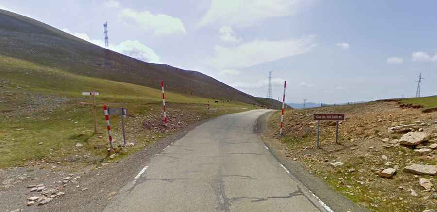
Coll de Pal is an Amazing Hidden Gem in the Catalan Pyrenees
Coll de Pal is a high mountain pass at an elevation of 2,109m (6,919ft) above sea level, located in the comarca of Berguedà, in Spain.

Where is Coll de Pal?
The pass is located in the autonomous community of Catalonia, in the northern part of the country. It’s a challenging climb with very steep sections and has been included in the Setmana Catalana bicycle race.
How Long is the Road to Coll de Pal?
The road to the summit is 26.7km (16.59 miles) long, running south-north from Bagà to La Masella. It’s known as BV-4024.
Is the Road to Coll de Pal Paved?
On the southern side, the road to the summit is fully paved, extending 19.4km from Bagà. Over this distance, the elevation gain is 1,235 meters, with an average gradient of 6.5%. There are, however, many sections with gradients of 11%, 12%, and even 13%. The toughest slopes are near the bottom, with two kilometers averaging over 9% and the steepest gradients, of 12-13%, in the first half of the climb.
On the northern side, the road to the summit is completely unpaved. Starting from La Masella, this stretch is 7.6 km long.
Is the Road to Coll de Pal Open in Winter?
Set high in the Serra de Moixeró mountain range, the road is usually open year-round, but winter closures are common due to snowfall. The weather is very changeable, with frequent storms.