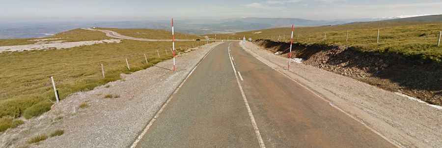
A paved steep road to La Covatilla in Castile and Leon
La Covatilla is a high mountain peak at an elevation of 1,962m (6,437ft) above sea level, located in the south of the Province of Salamanca, in Spain. It is one of the hardest climbs in the area.

Where is La Covatilla?
The peak is located in the autonomous community of Castile and León, near the border with Extremadura, in the central-western part of the country. It's almost like Mount Ventoux at the top because it's really exposed, and there can be a lot of wind. At the summit, there is a ski station known as Estación de esquí Sierra de Béjar La Covatilla. At the summit, a gravel chairlift service access road climbs up to Canchal Negro, a mountain peak at 2,268m (7,440ft) above sea level.
Is the road to La Covatilla paved?
The road to the summit is wide and paved, in pretty good condition. It’s called DSA-180. The ski resort at the summit is also known for having been a final stage several times in the Vuelta a España race.
How long is the road to La Covatilla?
Starting from La Hoya, the ascent is 19.9km (12.36 miles) long. Over this distance, the elevation gain is 1,146 meters, and the average gradient is 5.8%, with sections of up to 16.4% maximum gradient.
Is the road to La Covatilla open in winter?
Set high in the westernmost part of the Sistema Central Mountains, the road is usually kept open throughout the year, as in winter, the road is cleared to enable access to the ski resort.