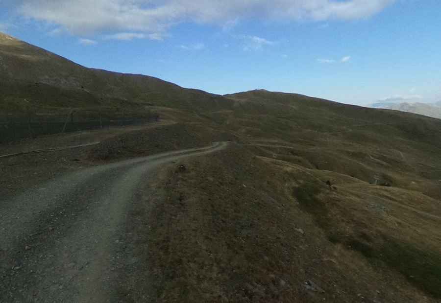
The steep unpaved road to Pic Bony de l'Aigua Blanca in the Pyrenees
Pic Bony de l'Aigua Blanca is a high mountain peak at an elevation of 2.543m (8,343ft) above sea level, located in the province of Lleida, Spain. It's one of the highest roads in the country.
Where is Pic Bony de l'Aigua Blanca?
The peak is located in the autonomous community of Catalonia, in the northern part of the country, within the Aigüestortes i Estany de Sant Maurici Natural Park.
Is the road to Pic Bony de l'Aigua Blanca unpaved?
Set high in the Vall de Boí of the Catalonian Pyrenees mountains, in the Boi-Taüll ski resort, the road to the summit is an unpaved chairlift access trail with a few narrow and steep sections (up to 25%). 4x4 vehicles with high clearance only.
How long is the road to Pic Bony de l'Aigua Blanca?
The road to the summit is not easy. Starting at the parking lot of the Boi-Taüll ski resort, the ascent is 2.9km (1.80 miles) long. Over this distance, the elevation gain is 470 meters. The average gradient is 16.20%.
Pic: jmfperez59