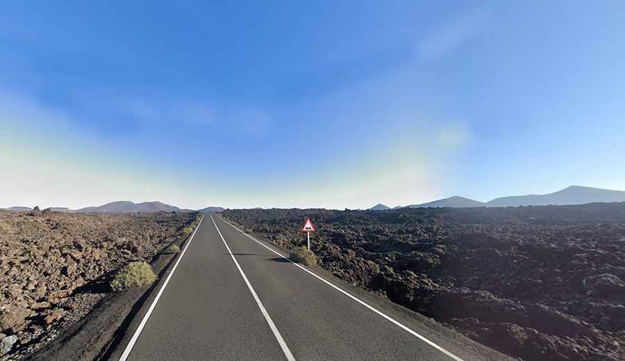
Is the LZ-67 the most photographed road in the Canary Islands?
Located in the Canary Islands, Carretera LZ-67 is an unforgettable drive, offering awe-inspiring views of over 30 volcanic cones.

Where is LZ-67 Road?
The road, also known as Carretera de las Montañas del Fuego (Mountains of Fire Road), is located on the island of Lanzarote, within the Parque Natural de Los Volcanes, in the Timanfaya National Park.
Is LZ-67 Road paved?
Running through the lava field, the road crosses the Parque Nacional del Timanfaya. It is fully paved and in extremely good condition. However, expect heavy traffic during the summer months.
How long is LZ-67 Road?
The road is 12.8 km (7.95 miles) long, running north-south from Mancha Blanca to Yaiza.
Is LZ-67 Road worth the drive?
Tucked away in the southwest of the island, in the middle of a rocky desert resembling a lunar landscape, the road runs through the awesome heart of a surprisingly colorful terrain. The landscape is barren and otherworldly. Watch out for Influencers, Instagrammers, and YouTubers who often run around on the road to capture their perfect photos.