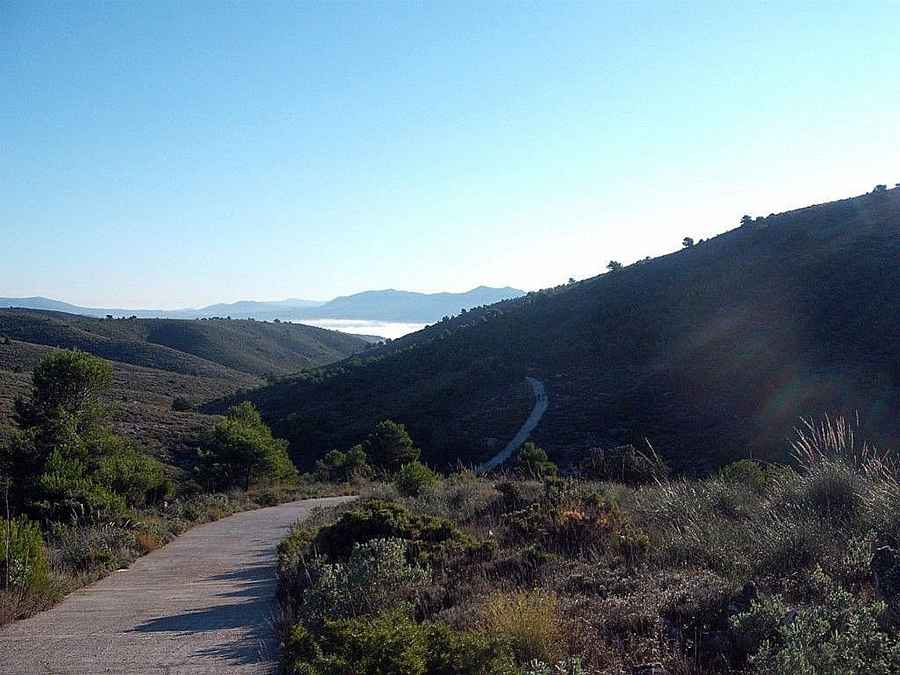
How to Get to Serra de la Vila by Car in Alicante
Serra de la Vila is a mountain peak with an elevation of 774m (2,539ft) above sea level, located in the Valencian Community, in Spain.

Where is Serra de la Vila?
The peak is situated in the comarca of Alt Vinalopó, in the province of Alacant, in the eastern part of the country. The summit hosts a communication tower commonly known as Repetidor Villena.
Is the Road to Serra de la Vila Paved?
The road to the summit is mostly paved but features sections of concrete and gravel. A high-clearance vehicle is strongly recommended due to the road's poor condition. The road is also extremely narrow, making it impassable for two medium-sized cars at once.
How Long is the Road to Serra de la Vila?
Starting from the paved CV-799 Road, the road to the summit is 5.6 km (3.47 miles) long. Over this distance, the elevation gain is 251 m, with an average gradient of 4.48%. The route becomes very steep in certain sections.
Pic: JOSE ALPA