How to Get to Pico del Aguila by Car in Huesca
Pico del Águila is a high mountain peak with an elevation of 1,611m (5,285ft) above sea level, located in the autonomous community of Aragón, in Spain.

Where is Pico del Águila?
The peak is situated in the comarca of La Hoya, in the province of Huesca, in the northern part of the country.
Is the Road to Pico del Águila Paved?
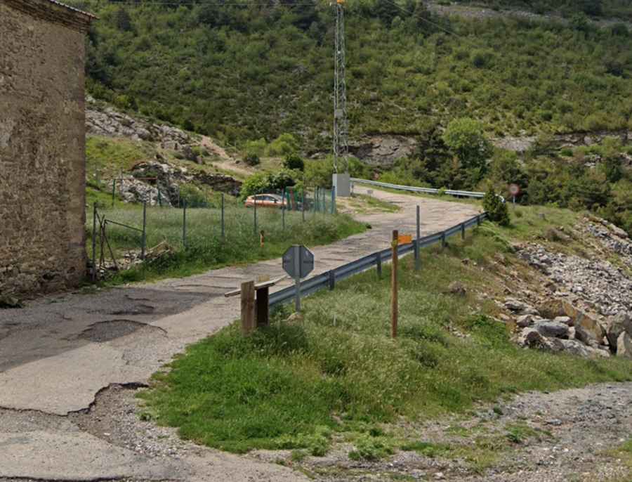
The road to the summit is entirely paved but in terrible condition. It's completely destroyed, full of holes, and scattered with large loose boulders. A high-clearance vehicle is strongly recommended.
How Long is the Road to Pico del Águila?
Starting from Arguis, the road is 4.9 km (3.04 miles) long. Over this distance, the elevation gain is 331 m, with an average gradient of 6.75%. It gets very steep in parts, with a maximum gradient of 8.8% on some ramps.
Is the Road to Pico del Águila Worth the Drive?
Set high in the Sierra del Águila mountain range, the summit provides stunning views of the Pyrenees. The peak also hosts a communication tower, making the drive well worth the effort.