Driving the unpaved road to Cerro de la Salchicha in Andalusia
Cerro de la Salchicha is a high mountain pass at an elevation of 1,546m (5,072ft) above sea level, located in the Spanish province of Granada.
Where is Cerro de la Salchicha?
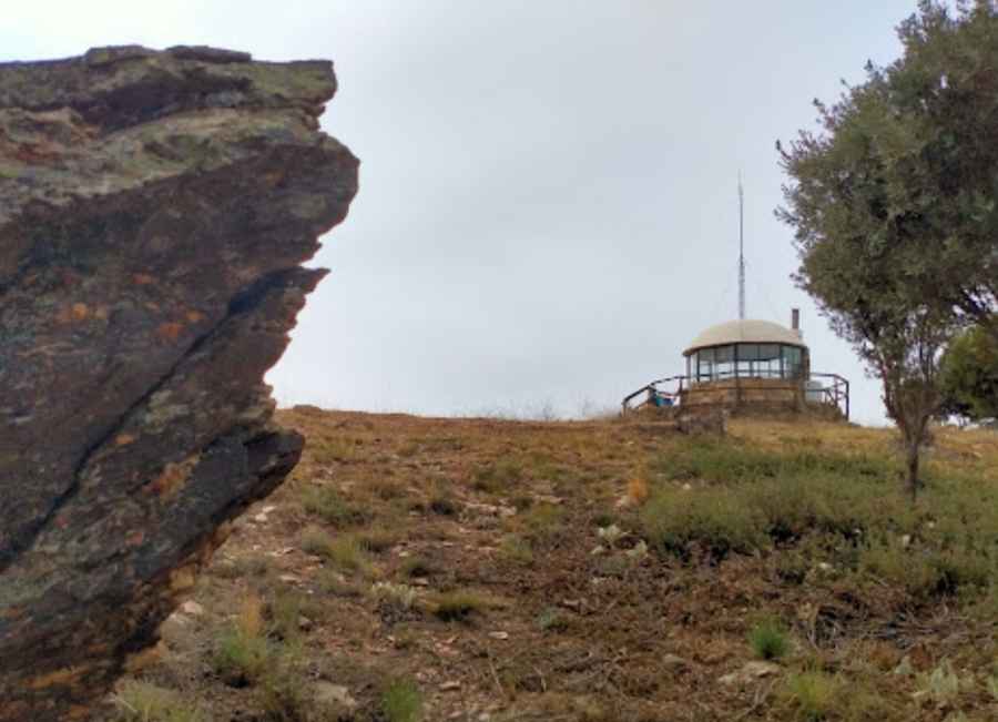
The pass is located in the autonomous community of Andalusia, in the southern part of Spain. At the top, there is a structure that appears to be a manned ranger station, serving as a lookout post for forest fires.
Is the road to Cerro de la Salchicha unpaved?
Set high in the Alpujarra mountains, in the Sierra de la Contraviesa range, the road to the summit is completely unpaved. It’s a forest track in good condition but is closed to motor vehicles, blocked by a metal gate.
How long is the road through Cerro de la Salchicha?
Tucked away in the comarca of Alpujarra Granadina, the road to the summit is about 5km (3.10 miles) long, running from the GR-5204 road to Haza del Lino on the A-4131 road.
Pic: jean-michel berthier