The Road to Paso de los Lobos in Salamanca Will Take Your Breath Away
Paso de los Lobos is a high mountain pass at an elevation of 1,500m (4,921ft) above sea level, located in the province of Salamanca, in Spain.
Where is Paso de los Lobos?
The pass (Wolves’ Pass in English) is located in the Autonomous Region of Castile and León, south of the city of Salamanca, in the western part of the country. At the pass, there’s an observation deck and a small parking lot for only 5 cars. It’s the starting point to climb the astonishing Peña de Francia, a high mountain peak at 1,708m (5,603ft) above sea level.
Is the road to Paso de los Lobos open in winter?
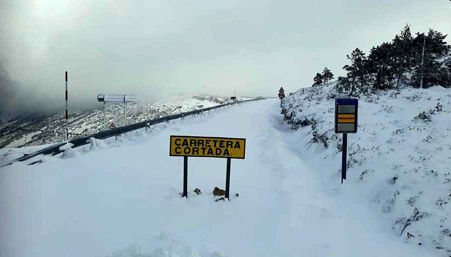
Set high in the Sierra de Francia mountain range, the pass is typically open all year round, but short-term closures are common in winter due to dangerous weather conditions.
Is the road to Paso de los Lobos paved?
The road to the summit is entirely paved but quite challenging and curvy. It’s called SA-203 on the eastern side and SA-CV-178 on the western side. It’s best to avoid it if you’re prone to car sickness. The climb features many hairpin turns and steep sections, with a maximum gradient of 9.2% through some of the ramps.
How long is Paso de los Lobos?
The pass is 34.9 km (21.68 miles) long, running from El Cabaco to Serradilla del Arroyo.
Pic: https://noticiasciudadrodrigo.com/2024/03/08/asi-de-nevado-amanece-el-paso-de-los-lobos/