What is the Vía de la Plata? Driving the N-630 and A-66 in Spain
The Vía de la Plata is a historic 700-kilometer transport corridor in western Spain. Following a Roman route that connected the south and north of the Iberian Peninsula, it today functions as a major road link between Seville and Gijón.

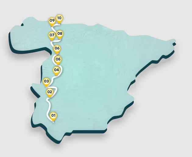
Where does the Vía de la Plata start and end?
The route begins in the southern city of Seville (Andalusia) and heads north toward the Bay of Biscay. The journey crosses six provinces, passing through monumental hubs like Mérida, Salamanca, and León, before reaching its terminus in the coastal city of Gijón (Asturias).
| ROAD FACTS: VÍA DE LA PLATA (N-630 / A-66) | |
|---|---|
| Length | ~800 km (Full Motorway/National) |
| Main Highways | A-66 (Autovía) / N-630 (National Road) |
| Start / End | Seville (South) / Gijón (North) |
| Regions | Andalusia, Extremadura, Castile and León, Asturias |
What road follows the Vía de la Plata?
Motorists typically use two main roads that follow the historic path:
- A-66 (Autovía de la Ruta de la Plata): A modern, high-capacity motorway that provides a fast transit through the west of Spain.
- N-630: The traditional national road, often preferred by motorcycle travelers and scenic drivers for its historical context and slower pace through villages like Guillena, Zafra, and Benavente.
How long is the Vía de la Plata by car?
The driving distance is approximately 800 kilometers. While historical walking stages are divided into 27 segments, the road trip can be completed in 8 to 10 hours of pure driving time. Key landmarks along the tarmac include the Roman ruins of Itálica, the bridge in Salamanca, and the mountain pass of Puerto de Pajares as you enter Asturias.
Is the Vía de la Plata paved?
Yes, both the A-66 and the N-630 are fully paved, high-quality roads. The A-66 is a dual-carriageway motorway, while the N-630 is a well-maintained single-carriageway that runs parallel to the highway in most sections.