A memorable 4x4 road trip to Pico de Urbion
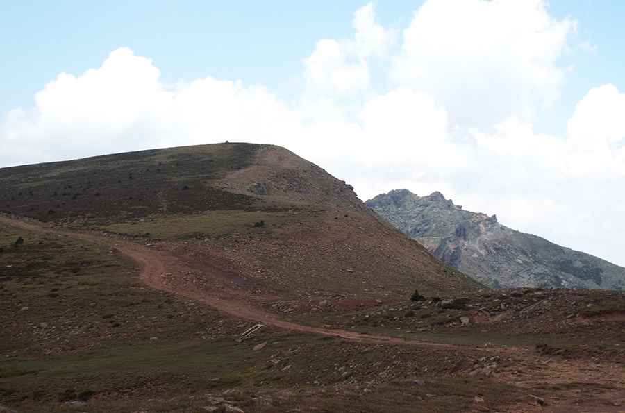
Pico de Urbión is a high mountain peak at an elevation of 2,168m (7,112ft) above sea level, located in the northern part of the province of Soria, in Spain.
Where is Pico de Urbión?
The peak is located in the autonomous community of Castile and León, in the north-central region of the country, near the infamous Laguna Negra de Urbión.
How long is the road to Pico de Urbión?
Starting from El Quintanarejo, on the paved SO-830 road, the ascent is 19.9km (12.36 miles) long. A 4x4 vehicle is required to complete the drive. The most challenging part of the drive is beyond Refugio El Muchachón, a high mountain hut.
Is the road to Pico de Urbión unpaved?
The road to the summit is entirely unpaved and very steep in parts. It features narrow sections and dangerous drop-offs.
Is the road to Pico de Urbión open?
Set high in the Picos de Urbión mountain range, the road is difficult to transit in winter due to snow on many days.
Is the road to Pico de Urbión worth the drive?
The drive is very scenic and provides stunning views of mountain peaks and Laguna de Mojón Alto and Laguna Helada, two glacial lagoons.
Pic: Jose