What You Need to Know about Driving the Road to Puig de Sant Salvador
Puig de Sant Salvador is a mountain peak at an elevation of 468m (1,535ft) above the sea level, located on the island of Mallorca, part of the Spanish autonomous community of the Balearic Islands.

How long is the road to Puig de Sant Salvador?
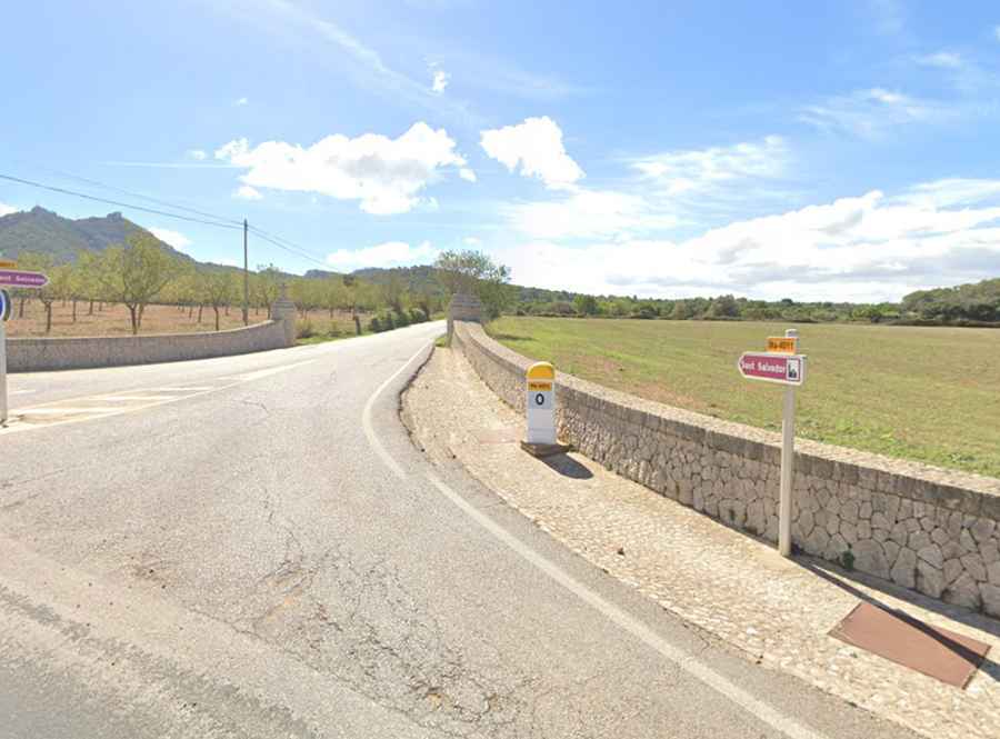
Tucked away in the southeastern part of Majorca, the winding road to the summit, also known as Puig de la Mare de Déu de Sant Salvador, is totally paved. It’s called PMV-4011. Starting at the MA-4010 road, to the east of Felanitx, the road to the summit is 5.5 km (3.41 miles) long.
Is the road to Puig de Sant Salvador worth it?
Set high in the Serra de Llevant range, the summit hosts a hilltop church and former monastery (San Salvador monastery), dating from the 14th century, with a lookout for panoramic views. A 7 m high copper statue of Jesus Christ as a sign of blessing placed on a 37 m pedestal. In the anteroom of the monastery are exhibited six World Champion jerseys. Plan about 15 minutes to complete the drive without any stop. The road is very busy in weekends and public holidays: if you want to avoid the crowds and have the road to yourself, try and hit the climb early. Those who get hungry can have lunch and dinner in the excellent monastery restaurant.
Is the road to Puig de Sant Salvador challenging?
The road is narrow in parts, and very steep, hitting a 15% of maximum gradient through some of the ramps, with 19 hairpin turns. The elevation gain is 375 m and the average gradient is 6.68%.