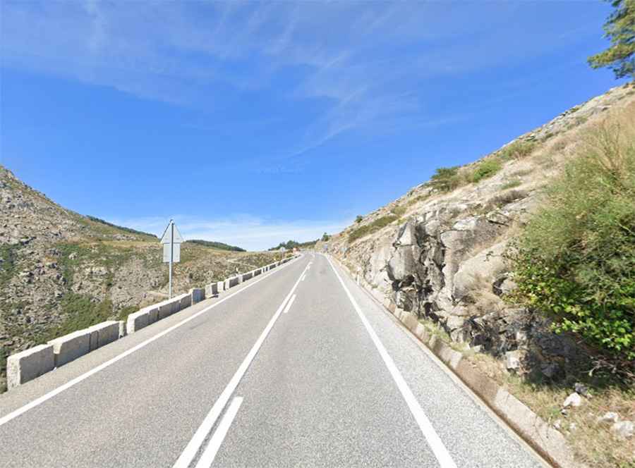
The Ultimate Road Trip To Puerto del Pico in Avila
Puerto del Pico is a mountain pass at an elevation of 1.391m (4,563ft) above the sea level, located in the province of Ávila, in the southern part of the autonomous community of Castile and León, in Spain.

How long is Puerto del Pico?
Tucked away on the central-western part of the country, the road to the summit is totally paved. It’s called N-502. The pass is 42.4km (26.34 miles) long, running south-north from Cuevas Del Valle to Solosancho.
Why is Puerto del Pico so famous?
Set high in the Gredos mountain range, the pass is pretty defiant, hitting an 11-12% of maximum gradient through some of the ramps. The summit hosts a tiny parking lot, a natural lookout, and one of the best conserved Roman roads in the country. It was built by the Romans two centuries before Christ, primarily to improve communications between the Avila and Mérida. It was used for transit by the Roman armies and to transport metals. Located at the southern slope of the pass, the old road is between 5.5 and 8.5 m wide and has come down to us in the present day in a good state of conservation.